What happens when data streams from an intensely instrumented watershed are combined with next-generation analytics in a high-powered computing environment? The answer is an unprecedented opportunity to manage watersheds in a smarter way for a diverse array of interested stakeholders. This is the idea behind the development of a new data integration platform spearheaded by several leading Ontario universities.
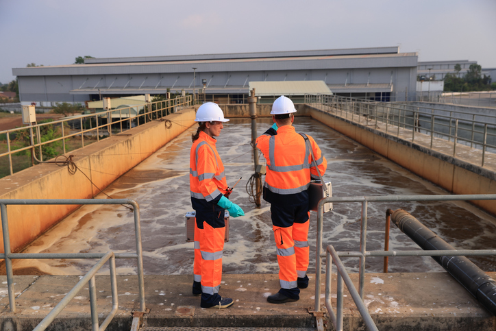
Researchers from the Southern Ontario Water Consortium (SOWC) are piloting a sophisticated data management platform for near real-time watershed monitoring—synthesizing numerous information sources and formats, and combining it with the analytical capacity of IBM’s technology. A scalable system-of-systems is a foundation of IBM’s Smarter Planet paradigm and allows for the capture, analysis, and interpretation of watershed data on an unprecedented scale. The information management and data visualization capabilities of this system can be used to enhance the decision-making ability of watershed managers while supporting innovation in tools, services, and technologies.
An intelligent watershed
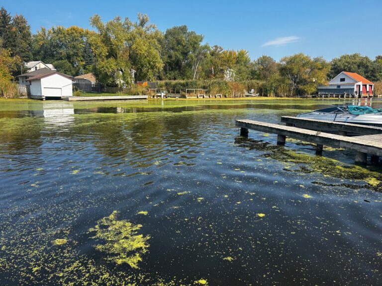
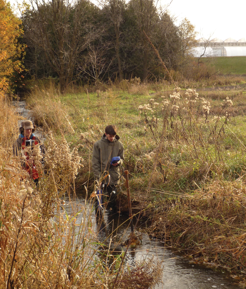
One watershed node, led by the University of Waterloo, has installed instrumentation that acts as the backbone for smart-watershed capacity in several watersheds in southern Ontario. A central component of this capacity is a monitoring system developed in the Alder Creek watershed, a rapidly urbanizing area within the Regional Municipality of Waterloo. The solution is designed to ingest, manipulate, and visualize a near-limitless volume and variety of watershed data, but also to accommodate data from the other research nodes, as well as information sources from an extended network.
Throughout the watershed, there have been the installations of seven complete weather stations designed to collect spatially dispersed climatic data and seven surface water monitoring stations that track stream flow and water quality. There are also networks of groundwater monitoring wells and soil moisture probes to monitor the subsurface. In total, there are 120 sensors to collect and transmit more than 150 data points every 15 minutes through wireless telemetry to a central recording location.
Research work to strengthen the smart watershed concept is currently underway at the Alder Creek facility with SOWC, Solinst Canada Ltd., and the Southern Ontario Smart Computer Innovation Platform (SOSCIP). The team is working toward automatic communication throughout the sensor network to permit data collection protocols to respond to various environmental triggers, such as flash flooding or heavy rainfall. Event-based sampling improves both the ability to capture the transient hydrologic response of the watershed, providing critical data that may otherwise go unrecorded and to optimize sensor power requirements and data storage. This will enable researchers to better understand and model how watersheds react to impactful environmental events.
“The focus of the project is to take smart watershed monitoring to the next level by designing a network that captures sensor data from remote locations and uses sophisticated communications software to transmit it into a high-performance computing environment,” says Dave Rudolph, professor at the University of Waterloo’s department of earth and environmental sciences and the watershed node leader. “This software permits the collection and storage of tremendous amounts of near real-time information—allowing us to analyze and interpret a watershed like never before to make new discoveries.”
Integration, collaboration, innovation
“[The] smart watershed capacity enables collaborative research and demonstration opportunities for companies with leading-edge technologies and services related to watershed monitoring,” SOWC executive director Brenda Lucas says. “The data integration platform becomes a new way to support innovation and demonstration.”
The data integration platform’s capacity directly supports water management professionals by providing a level of detailed watershed monitoring information that has never before been available. For example, the platform provides users with the ability to incorporate real-time watershed data for analysis and modeling, enabling decision makers to make more informed conclusions based on more robust data sets, such as early flood detection or warning systems.
Focused on real-time sensor data, the data integration platform is available to support new products, technologies, and research applications, which the consortium can support by creating custom applications for users, expanding on existing data platform functionality through add-on features, and giving external users—companies, researchers, and the government—access to real-time data streams. WC
Stephen D’Angelo is the communications officer with the Southern Ontario Water Consortium. This article appears in Water Canada’s May/June 2014 issue.