Residents of the Regional District of Nanaimo can now use an online interactive place-based tool to learn about water supplies and use, as part of the regional district’s Drinking Water Watershed Protection program.
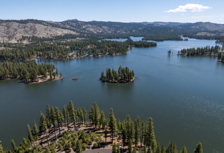
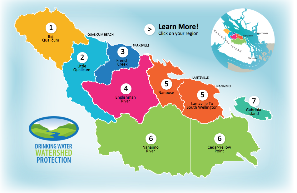
The map app combines provincial, district, and citizen science data to display graphical information about land use, watersheds, surface and groundwater within the regional district’s nine water regions from Qualicum to South Wellington.
“If [residents] have questions like, ‘Where are the aquifers? What streams are in my area? What projects are going on? Where are there monitoring sites?’ the idea is to have a map interface for people to access that information, as opposed to just a list,” said Julie Pisani, RDN drinking water and watershed protection coordinator to the Nanaimo News Bulletin.
“The intent is to connect residents in our region to a more place-based framework for connecting with water information,” she said.
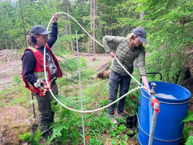
The app is a one-window access point for all water monitoring data, including water budget assessments, data from the B.C. Water Use Reporting Centre where water purveyors and large water users regularly record their water use, and local watershed groups.
“We’re also working with the aboriginal education coordinator in School District 69 and we’re able to locate places of First Nations significance on the maps, so that’s another layer of information people might be interested in,” Pisani said.
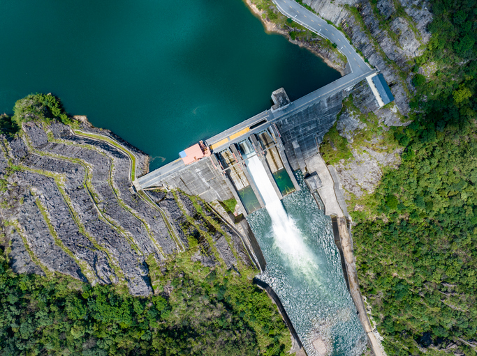
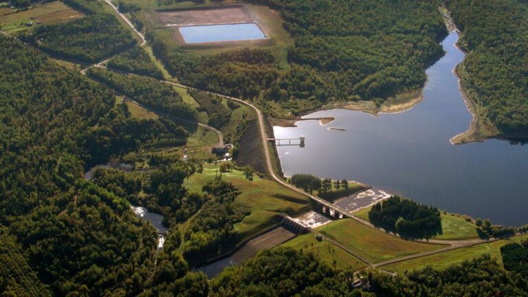
The RDN is home to more than 140,000 people, with four member municipalities. There are seven major basins in the region, which are comprised of several watersheds and sub-watersheds. The region depends on both groundwater and surface water for community water needs and for maintaining vibrant aquatic ecosystems.
The region has been under level four and level three water bans for most of the summer.