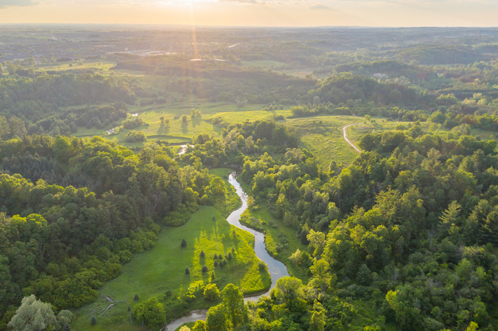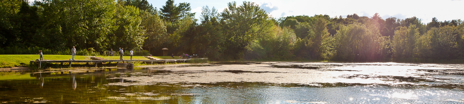
A combination of below-average precipitation this year with hot summer temperatures has resulted in water levels in local streams dropping well below normal. As a result, Conservation Halton is escalating from a Level I to a Level II Low Water Condition, based on criteria set out in the Ontario Low Water Response guidelines.
Conservation Halton’s data for the month of July indicates that the watershed received an average of 43 mm of rain, which is only 54 per cent of the normal July average of 79 mm. The three-month total for May to July was approximately 105 mm or 45 per cent of normal for this time of year, and there have been 24 days where temperatures surpassed 30°C during this period of time (compared to an average of six days for the preceding three years). Furthermore, current stream flow data indicates that many watercourses are in a Level II Low Water Condition, with monthly July flows averaging 35 per cent of the lowest average summer monthly flow.
Under the Level II Low Water Condition, water users in the Halton watershed are strongly encouraged to voluntarily conserve water with the aim of reducing overall consumption by a further 10 per cent, to a new target total reduction of 20 per cent.
Major water users, such as golf courses, aggregate extractors, farm irrigators and others are asked to implement or continue their water conservation programs to reach the 20 per cent reduction target. Rural water users can lower the demand on the watercourses and aquifers by pumping water at a lower rate, storing it in ponds or by staggering their pumping times in conjunction with neighbours to lower peak demand.
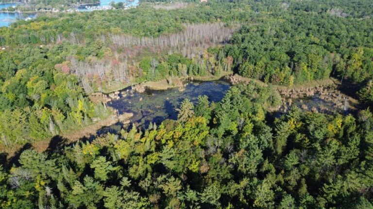
The Halton watershed is comprised of the Bronte, Grindstone, and Sixteen Mile Creek watersheds, which encompass portions of Puslinch, Hamilton, Halton Hills, Milton, Mississauga, Burlington and Oakville.