


A new interactive map launched this week brings together for the first time the fullest picture of how people and wildlife use Canada’s oceans.
The Oceans Map, created by WWF-Canada, pulls together relevant marine data—species, shipping, fisheries, habitat, sea ice and other factors—into a customizable tool that lets users view of what’s going on in each of Canada’s coastal regions.
The tool enables exploration of the drivers of trends, such as warming and acidification due to climate change, and declining marine populations due to overfishing and pollution. Ocean planning, also called marine spatial planning, helps users understand how these shared spaces are used, where there are overlaps and how to best manage human activities so that people and nature can thrive together.
This WWF-Canada interactive map includes:
- Fisheries data from all three oceans;
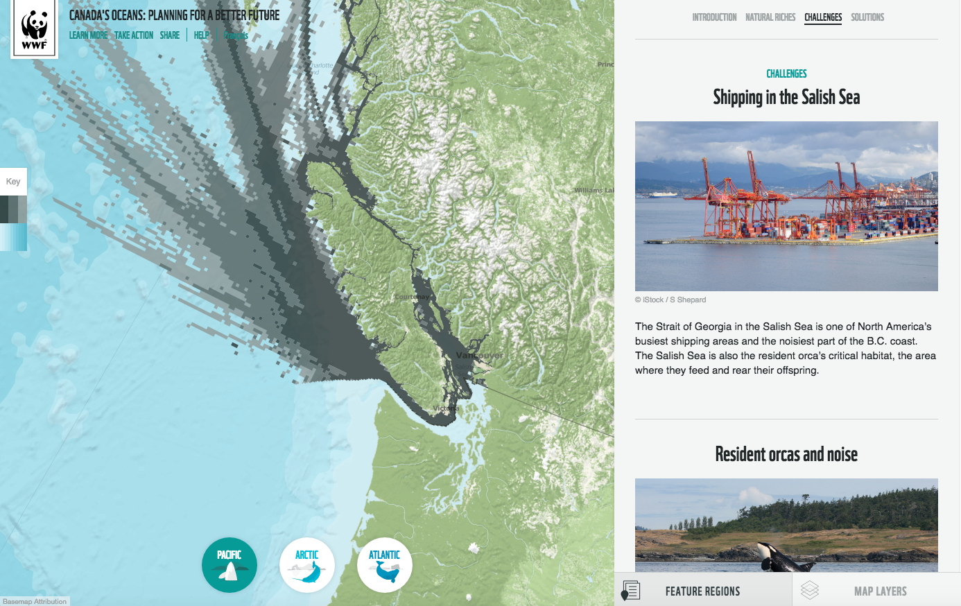
- Shipping-route data;
- Protected areas such as National Parks, National Marine Conservation Areas, proposed Marine National Wildlife Areas, Areas of Interest, Marine Protected Areas;
- Ecologically important areas;
- Fisheries closures, federal marine bioregions and regional planning initiatives;
- Subsistence harvest and traditional knowledge areas;
- Information about species by region.
The map also examines challenges, species at risk and solutions in key regions such as the Gulf of St. Lawrence, the Grand Banks, Skeena River Estuary and others.
“Improving our understanding and management of our oceans is key to protecting species and the healthy marine ecosystems that sustain us, our communities and our economy,” said David Miller, president and CEO of WWF-Canada.
Customized maps include:
- The Bay of Fundy, showing critical habitats for right whales, salmon and striped bass, overlaid with National Parks and ecologically significant areas;
- Haida Gwaii, showing orca and humpback habitats, shipping routes, and proposed industrial development in Kitimat and Prince Rupert;
- The Arctic distribution of narwhals, bowhead and beluga whales, overlaid with knowledge of traditional fishing areas.


