Approximately three million photographs taken in space have now been made freely available to the public, contributing to scientists’ understanding of changing Earth systems.
The technology used to take the photographs, known as ASTER, is a Japanese-U.S. instrument that sits aboard NASA’s flagship Terra satellite that was launched in 1999.
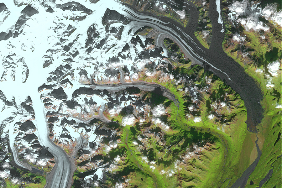
As a sensor, ASTER offers the highest spatial resolution of surface spectral reflectance, temperature, and emissivity data possible, using 14 different channels of visible and infrared light.
“All our lives, we look from five feet up,” said Michael Abrams, the U.S. ASTER science team leader.
“When we get really high, we gain an entirely different perspective of what our earth is and how it operates.”
The images are already being used to examine global changes, such as glacial advances and retreats, crop stress, evaluating wetlands, monitoring thermal pollution, and coral reef degradation.
Although the images were always available to researchers, NASA and Japan’s Ministry of Economy, Trade, and Industry (METI) used to charge fees for their use.
The images can be accessed through the Land Processes Distributed Active Archive Center with a smaller (and more easily accessible) selection on the website.