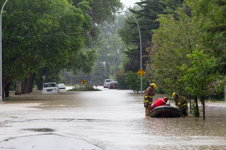
Flood maps help keep people safe and play a critical role in informing local emergency response plans and guiding future Indigenous community and municipal development decisions. In the past five years, flood mapping has launched in 100 municipalities and Indigenous communities.
Now, seven new flood map studies are underway for the communities of: Carbon, Chateh, Crowsnest Pass, Lethbridge Rycroft, Thorsby and Two Hills. Work will begin immediately, with results expected before the end of next year.
“Our government is committed to creating more than 3,000 kilometres of new and updated flood mapping by 2028. So far, we’ve completed 1,600 kilometres. This commitment has resulted in more flood maps being finalized in the past five years than in the previous thirty-five years combined. Alberta’s proactive work will help protect communities, families and businesses in the decades to come,” said Rebecca Schulz, Minister of Environment and Protected Areas.
In addition, Alberta is soliciting feedback on four flood map studies nearing completion, including: Hinton, Vegreville, Stettler, Red Deer County and Markerville. Mapping from these studies covers about 250 kilometres of rivers and creeks through seven municipalities. Albertans can provide feedback at floods.alberta.ca until May 12.
“The Rural Municipalities of Alberta appreciates the Government of Alberta working to create new flood mapping in recent years. Floodwaters do not recognize jurisdictional boundaries, and rural municipalities must plan carefully how to use their limited resources to best protect their residents, businesses and the environment. Having access to the data provided by these flood maps will enable rural municipalities to plan appropriately and mitigate the impacts of flooding for years to come,” said Kara Westerlund, president, Rural Municipalities of Alberta.
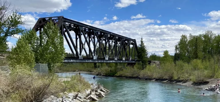
All rivers, streams and lakes in Alberta have the potential to flood. Knowing where the water will flow during a flood is critical to understanding where it’s safe to farm, safe to build, and how to best prepare for emergency situations.