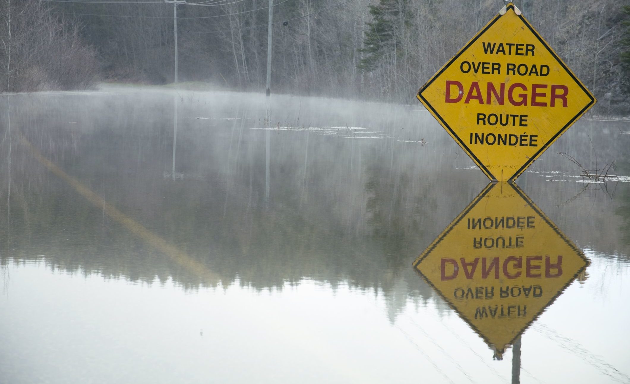
New Brunswick Releases Flood Map for 2018
New Brunswick’s Department of Environment and Local Government has used the latest available technology to create a flood map for 2018. That year, the worst…
New Brunswick’s Department of Environment and Local Government has used the latest available technology to create a flood map for 2018. That year, the worst…
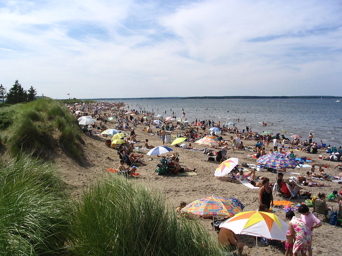
The Government of New Brunswick’s technical working group tasked with developing a management plan for Shediac Bay watershed, which includes Parlee Beach, is expected to…
Surface water and groundwater levels are lower than normal throughout the province, which is why New Brunswickers are advised to conserve water. “The heat wave,…
The River Watch program will provide New Brunswickers with information on the status of rivers, potential ice jams, and other flood issues across the province…
New Brunswick has released its report, The State of Water Quality in New Brunswick’s Lakes and Rivers: Water Quality Monitoring Results 2003-2016. “We are committed…